CHICAGO – Shortly after 8 p.m. last night, a cluster of drenching showers and thunderstorms developed over parts of Cook and DuPage counties.
Massive downpours
The rain area spread only very slowly to the east over the next roughly three hours, leading to remarkable rainfall totals in a very short period of time.
Doppler radar estimates show somewhere between 2.5 and nearly 7 inches of rain came down, in some cases in less than two hours.
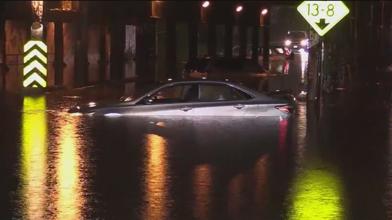
Just before 11 p.m., I texted my son. He commutes back-and-forth to his home in the city and I was concerned he might get caught in some of the flooding. Indeed, he did-trying to drive through a flooded viaduct near Western Avenue and Hubbard Street. That’s where his car conked out and had to be towed away.
Lesson learned and case in point: Don’t drive into standing water.
Chicago weather forecast
What we know:
On to today’s weather. There’s a chance for some patchy fog early this morning. Visibility might be quite poor.
The rest of the day will feature a swift-moving cold front sliding down the lake. This will knock temperatures back near the lake and in the northern suburbs first. Inland highs should reach the low to mid 80s but fall into the 70s during the afternoon. There is only a very small chance for a few showers as that front moves through.
Tonight will be mostly clear and pleasant with lows in the mid to upper 60s.
Future forecast
What’s next:
Tomorrow looks mostly sunny and warm with highs in the mid 80s.
The next storm system arrives either late Friday or what appears more likely now, on Saturday. Showers and storms, some of which could be heavy, will be possible during this time.
Highs on Friday will be close to 90 degrees, then in the mid 80s on Saturday.
Sunday into next week look warmer than normal with highs in the mid 80s to around 90.
The Source: The information in this report came from FOX 32 Meteorologist Mike Caplan.
Weather ForecastChicagoNewsSevere Weather
