PHOENIX (AZFamily) — The ridge of high pressure that brought us the warm, weekend weather has begun to weaken and in its place, a low pressure system forming off the coast of Baja California. It will be the strongest influence on Arizona’s weather the next few days.
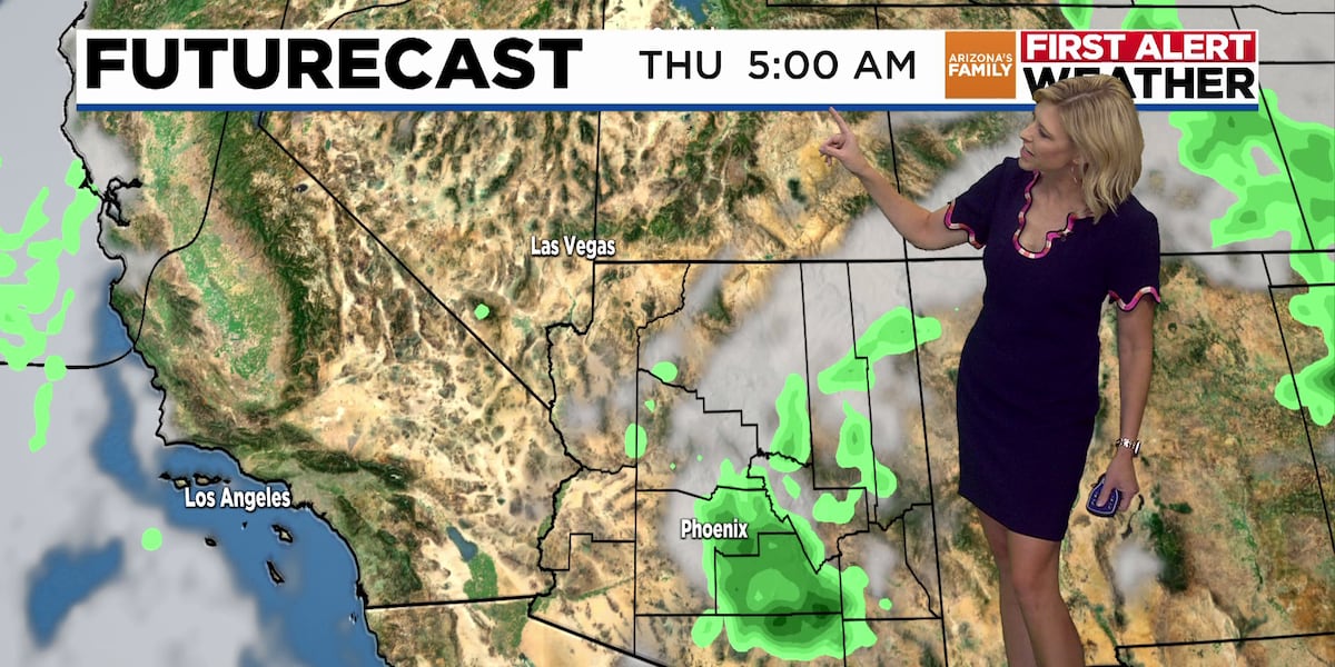
As that low moves northward toward Arizona, it will push a fair amount of moisture into the state, resulting in a short burst of the monsoon, lasting a few days. Most of the storms will be in southeast and eastern Arizona, but the Valley will get a chance for rain Wednesday into Thursday.
On Wednesday, the best chance for activity around metro Phoenix will probably be blowing dust but we will carry a 30% chance for storms into Wednesday night. By Thursday, the chance for morning and afternoon storms will be in the range of 40%.
The most likely scenario brings measurable rain into the southwest and northeast portions of the Valley. Some models show Phoenix Sky Harbor and central Phoenix will get limited chances for rain.
On this day in 1975, the “Bastille Day Storm” impacted the Sedona-Oak Creek Canyon area. An intense downpour, 3.5 inches in less than an hour, caused severe flash flooding of Soldiers and Mormon washes. Roads, houses, and trailers were flooded. Retaining walls, culverts, and butane tanks were washed out.
See a spelling or grammatical error in our story? Please click here to report it.
Do you have a photo or video of a breaking news story? Send it to us here with a brief description.
Copyright 2025 KTVK/KPHO. All rights reserved.


